Bath ON Geo Coordinates
Bath ON is located at 44.182861, -76.775719 geo coordinates. Bath, ON is located in Ontario, Canada.
Bath ON Map
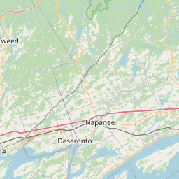
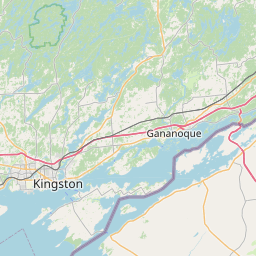
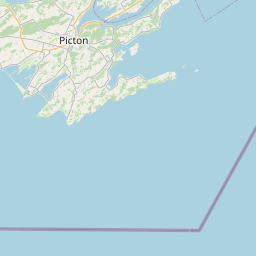
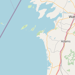

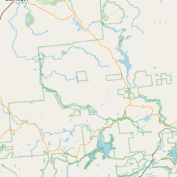

Leaflet © OpenStreetMap contributors
Bath ON Location Coordinates
| Latitude | Longitude |
|---|---|
| 44.182861 | -76.775719 |
| DMS Latitude | DMS Longitude |
|---|---|
| 44° 10´ 58.2996'' N | 76° 46´ 32.5884'' W |
Bath, ON Nearby Places
- Stayner ON (266km)
- Lakeshore ON (524.57km)
- Barry's Bay ON (161.67km)
- Petrolia ON (456.58km)
- Blenheim ON (470.19km)
- Toronto - Ward's Island ON (216.17km)
- Toronto - Centre Island ON (217.03km)
- North Stormont ON (179.89km)
- South Stormont ON (174.2km)
- Wiarton ON (351.85km)
- Manotick Station ON (151.16km)
- Central Elgin ON (391.3km)
- West Elgin ON (432.21km)
- Frankford ON (65.56km)
- Morley ON (1422.35km)
- Rockwood ON (276.6km)
- Timmins ON (591.42km)
- Carlisle ON (271.81km)
- Waterdown ON (267.65km)
- Kapuskasing ON (722.48km)
- Hamilton ON L8V (268.69km)
- Mono ON (264.96km)
- Elmira ON (310.31km)
- Laurentian Hills ON (210.81km)
- Cambridge ON N1S (299.87km)
- Toronto ON M5W
- Kincardine ON
- Thunder Bay ON P7C
- Fauquier-Strickland ON
- Zhiibaahaasing 19A (Cockburn Island 19A) ON
- Grey Highlands ON
- Powassan ON
- Collingwood ON
- Warwick ON
- North York ON M3K
- Six Nations (Part) 40 ON
- Lindsay ON
- Newcastle ON
- Thornton ON
- Harrow ON
- Brampton ON L6S
- Sucker Creek 23 ON
- Shelburne ON
- Exeter ON
- Chapple ON
- Amaranth ON
- Greenstone ON
- Komoka ON
- Kingston - Dawson Point ON K7K
- Kingston - Dawson Point ON K7L